Persistent coverage. Intelligent insights. Zero infrastructure. Caniantek fuses aerial imaging and AI into a single high-altitude platform. Monitor hundreds of square miles in real time — with no poles, no cameras, and no compromise.
Contact US
Traditional surveillance systems weren’t built for scale or continuity. Ground cameras are maintenance-heavy and limited in scope. Drones and satellites offer broader views, but only in short bursts — leaving gaps when persistent visibility is most needed.

Caniantek delivers a new layer of airborne intelligence — one that’s always on, always aware. From 20 km altitude, our optical payloads provide 24/7, sub-10 cm/pixel video coverage over hundreds of square kilometers. With real-time AI, cloud-native access, and zero ground infrastructure, we offer unmatched clarity and continuity.
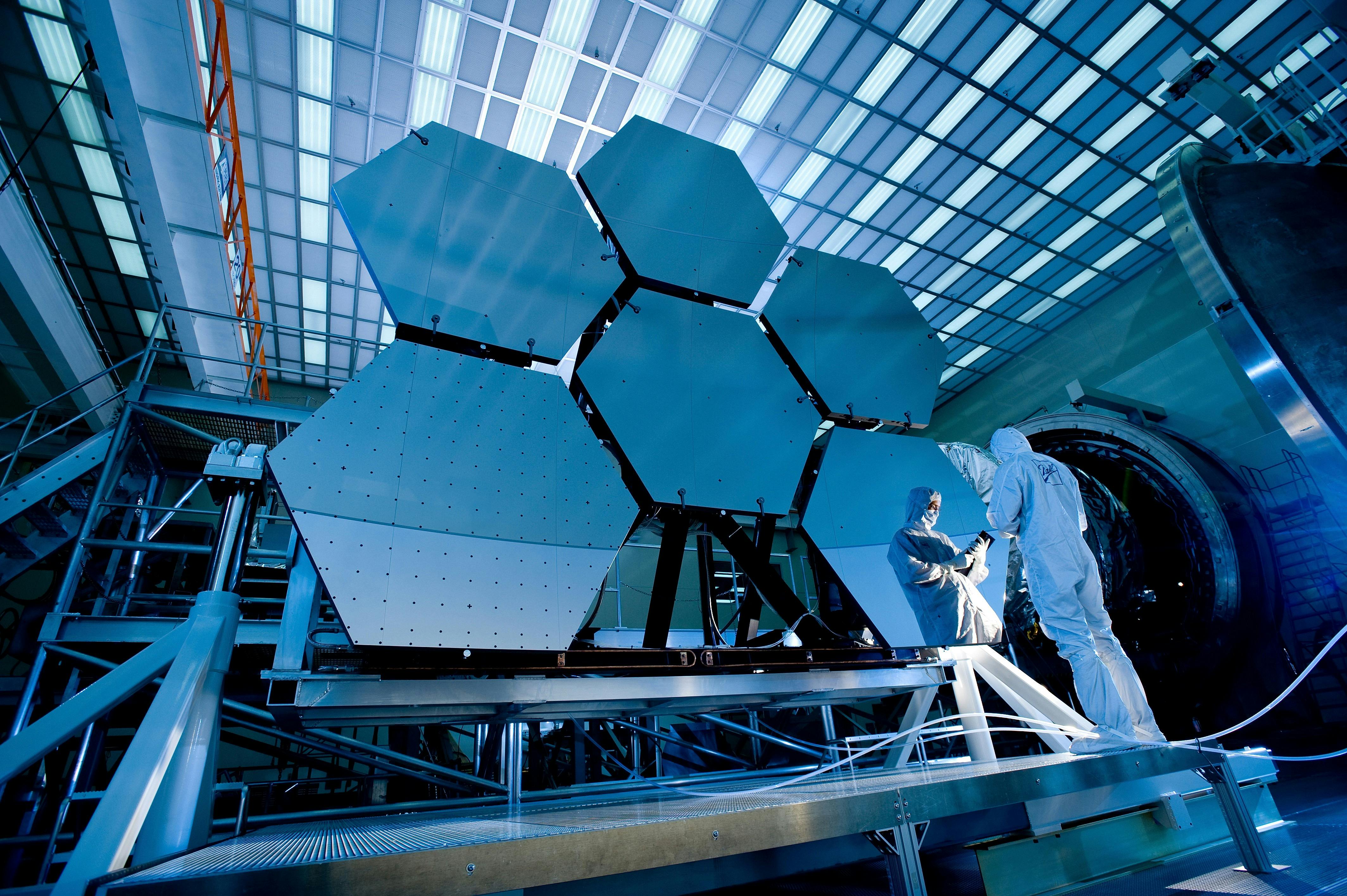
Our electro-optical payload captures ultra-high-resolution video from the stratosphere, covering hundreds of square kilometers in real time. Designed for endurance and precision, it operates continuously in diverse conditions.

Onboard and cloud-based AI models process video streams to detect, classify, and track relevant activity. This enables users to focus on what matters — with real-time alerts and minimal manual review.

A secure, web-based platform gives authorized users instant access to live and archived video feeds. Role-based access controls and multi-agency collaboration tools are built in by design.

Caniantek’s system is designed to integrate with existing platforms, sensors, and workflows via secure APIs. This ensures seamless adoption across defense, emergency, and smart city ecosystems.
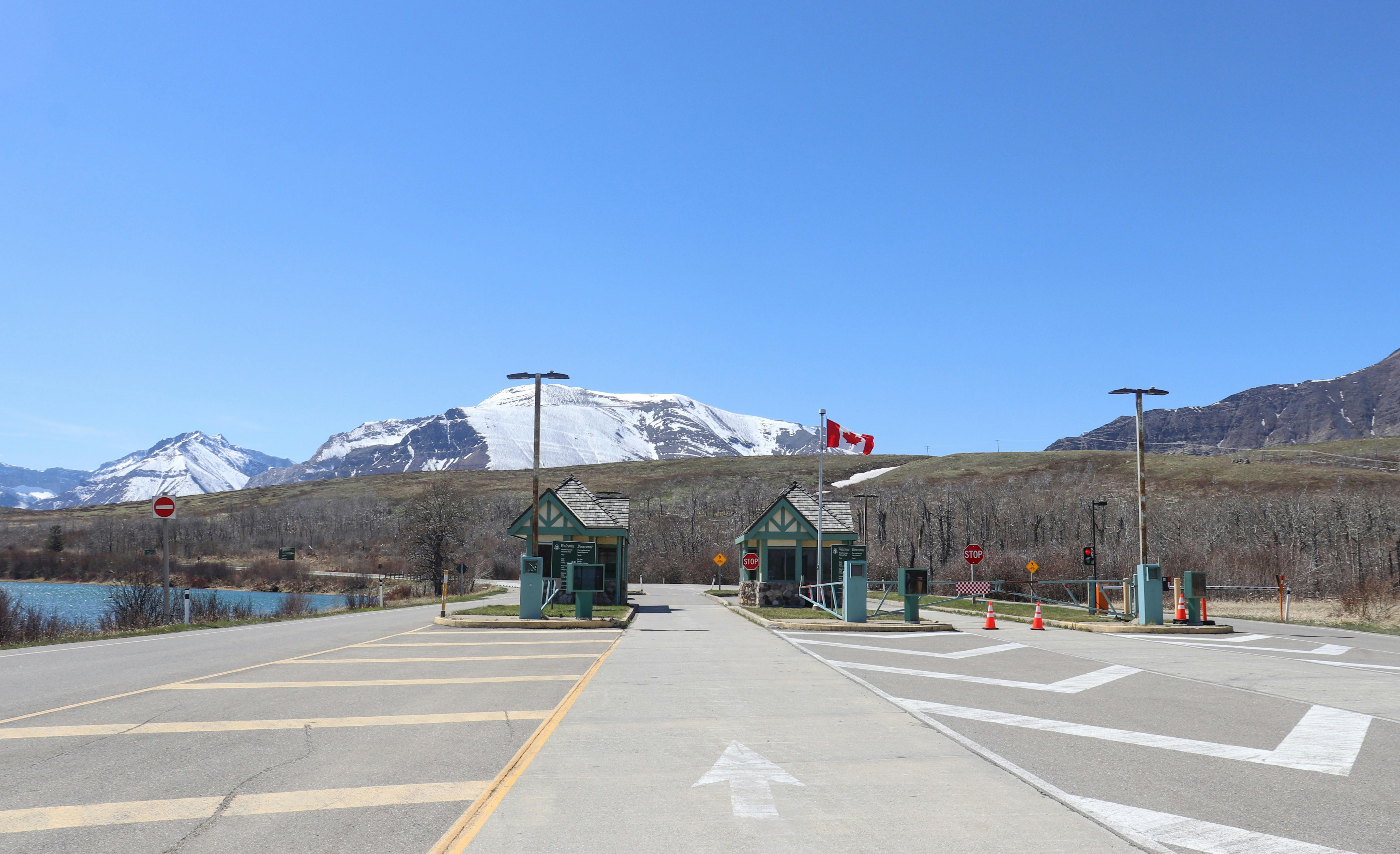
Monitor remote border zones continuously to detect unauthorized crossings and coordinate rapid response.

Support tactical operations and investigations with real-time aerial visibility over high-risk areas.

Enhance urban safety and mobility by providing persistent oversight of public spaces, events, and infrastructure.

Safeguard energy, water, and telecom assets with continuous, wide-area situational awareness.
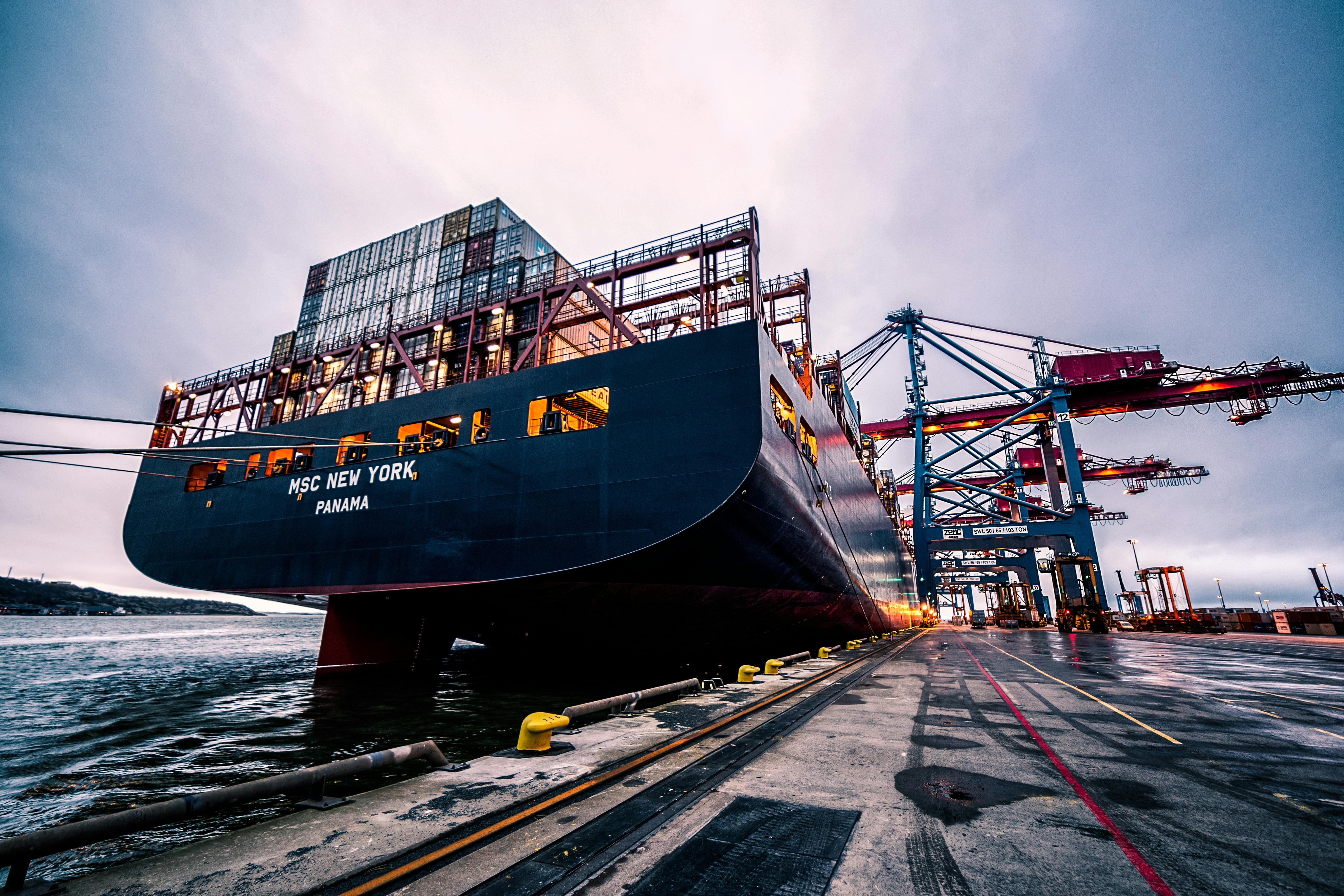
Monitor activity across both airports and seaports to detect anomalies, secure high-traffic zones, and support safe, coordinated operations through persistent aerial coverage.

Ensure traffic flow, monitor transit corridors, and support emergency response across road, rail, and air networks.
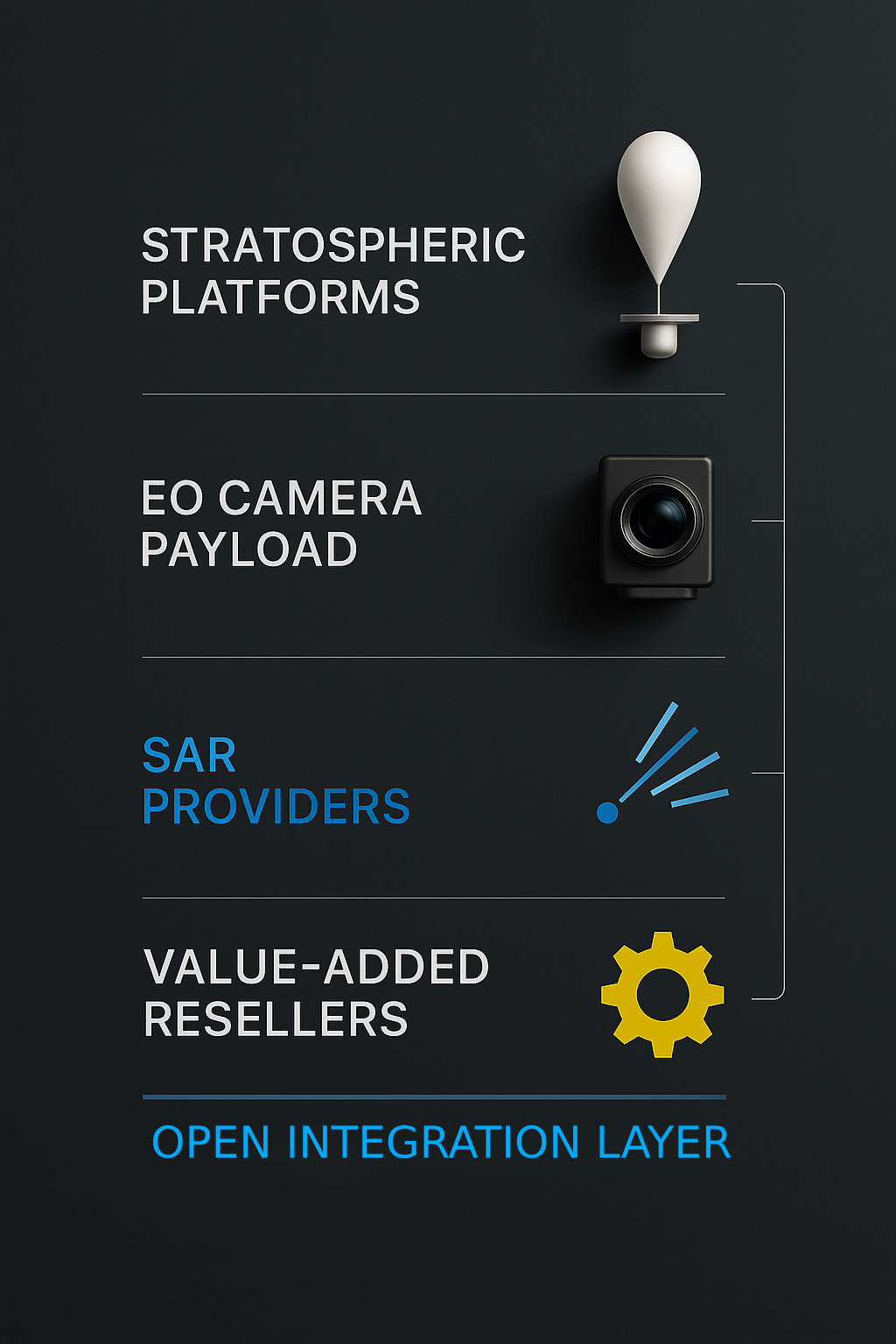
We collaborate with providers of high-altitude platforms — including balloons, solar UAVs, and HAPS — to deliver persistent, long-endurance aerial coverage. Caniantek’s imaging payload is designed to integrate seamlessly with a wide range of stratospheric systems.
Optical technology providers working on advanced sensors, stabilization, or imaging components can contribute to evolving our high-resolution payload. We welcome innovation that enhances clarity, range, or environmental adaptability.
We integrate with SAR and other complementary sensing systems to enable all-weather, day-night awareness. Partners gain the opportunity to fuse their data into a unified airborne intelligence layer.
We partner with resellers and solution integrators serving defense, security, and critical infrastructure sectors. We offer a powerful platform to differentiate your offering.
Our Vision
We believe in persistent, intelligent aerial awareness — empowering safer cities, resilient infrastructure, and informed decisions through real-time visual intelligence.
Trust is at the heart of everything we build and deliver. From the integrity of our data to the reliability of our systems, we aim to earn the confidence of our partners, customers, and the public. We believe trust is established not just through performance, but through transparency, accountability, and consistent action.
Innovation drives our mission to reshape what’s possible in persistent aerial intelligence. We are committed to pushing the boundaries of technologies — not for novelty, but to solve real-world challenges with elegance and impact. Our team thrives on curiosity, experimentation, and continuous improvement.
We design with people in mind. Whether it's the public whose privacy must be respected, or the partners and agencies who rely on our data, we take a human-centered approach to technology. Empathy ensures our solutions remain ethical, relevant, and responsible at every stage.
We recognize the power and sensitivity of surveillance technologies. That’s why we hold ourselves to the highest standards of ethical deployment, data protection, and mission alignment. Our responsibility extends beyond performance — it includes the long-term societal impact of what we create.